

A major winter storm is becoming more likely for early next week, with forecasts warning that heavy snow, significant icing, and hazardous traffic could affect millions from the mid-Atlantic to the Northeast. The early-season system is predicted to strengthen Monday and track along the East Coast until Tuesday, causing considerable worries in communities along and west of the I-95 corridor.
According to the NOAA Weather Prediction Center, there is increasing confidence that a developing low-pressure system from the Gulf Coast will advance up the coast, tapping into chilly air in the interior Northeast. More than 6 inches of snow are expected north and west of I-95, with the probability reaching 50% in regions of Pennsylvania, New York, and New England.
The southern and central Appalachians confront an additional threat: dangerous icing, with at least a tenth of an inch of ice expected in several zones. Even modest amounts of ice can cause downed branches, power outages, and dangerous situations on elevated roads.
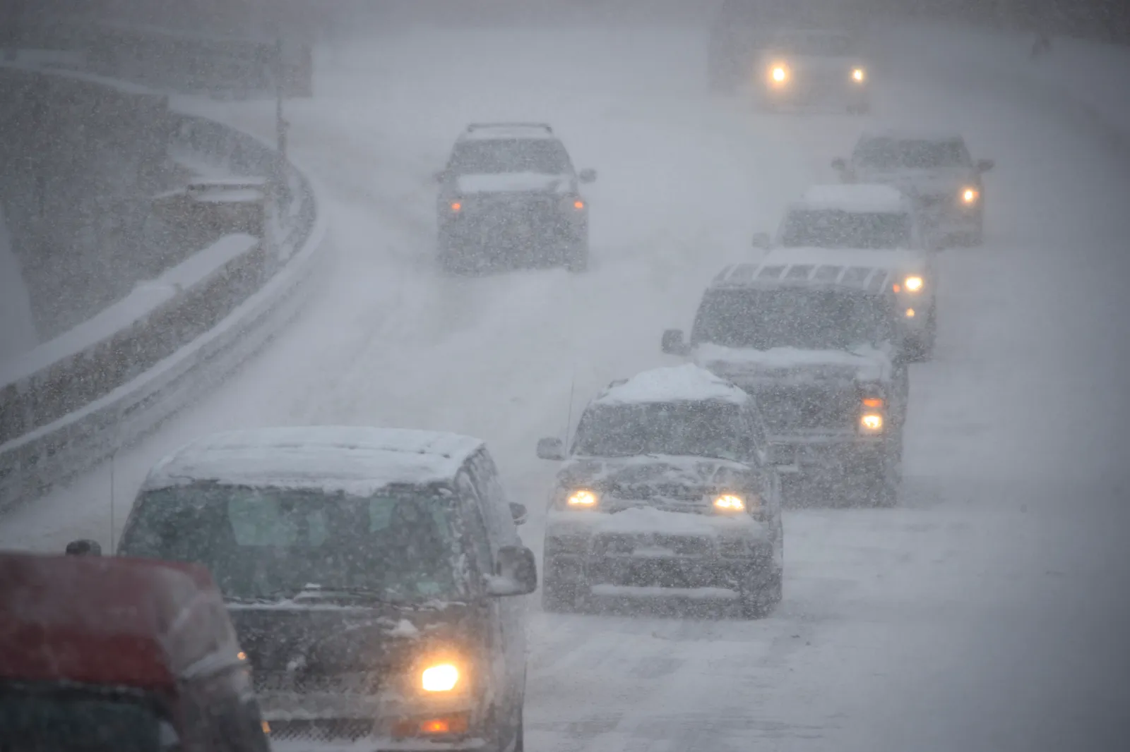
Travel on major East Coast routes, such as I-95, I-81, and I-84, may become difficult or dangerous between Monday evening and early Tuesday. If snow and ice develop as predicted, we anticipate that untreated highways, overpasses, and high-elevation routes will be particularly vulnerable.
Officials warn homeowners to constantly follow updates because the storm’s timing and track may change, affecting snow totals and the exact placement of the ice band.


Leave a Reply