
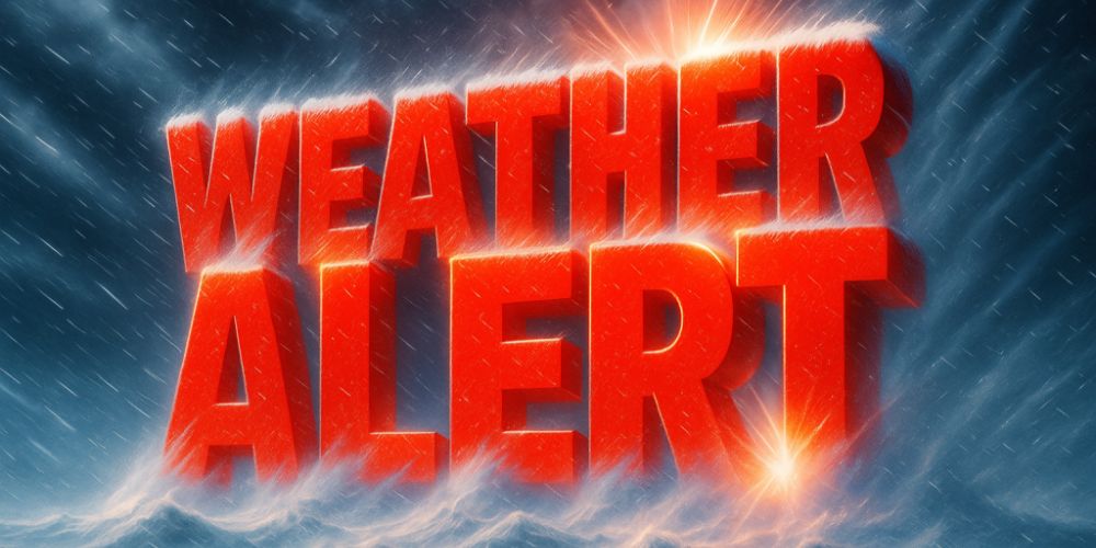
A sharp Arctic blast grabs Illinois and Indiana this Thursday morning, bringing in one of the coldest beginnings to December yet. The air is piercing across wide fields, and even city streets sparkle under a light frost. Meteorologists predict that the chilly pattern will intensify over the weekend, with snow expected by Saturday night.
According to the National Weather Service in Chicago/Romeoville, wind chills may drop to 10 to 15 degrees below zero late tonight, increasing the risk of frostbite and slick pavement. By early Saturday, there is a 30-40% chance of snow, with 2-4 inches possible in northern Illinois and northwest Indiana.
Drivers should be prepared for reduced visibility and slippery areas, particularly along I-90 and I-80, where refreezing may occur as temperatures approach freezing. Allow extra time for errands or commutes—this is the type of cold that freezes damp roadways in minutes.
Snow may stop falling by Sunday, but temperatures will linger in the 20s. Forecasters warn that another round of lake-effect snow could strike the region by midweek, as the second week of December brings lingering Arctic air from the north.
Five-Day Outlook (Chicago & NW Indiana):
- Friday: High 28°F, partly sunny.
- Saturday: High 31°F, snow possible late.
- Sunday: High 30°F, light snow, breezy.
- Monday: High 25°F, mostly cloudy.
- Tuesday: High 34°F, chance of flurries.


Leave a Reply