
After a few days of warm and sunny weather in the Bay Area, expect a sudden turnaround due to the remains of a tropical cyclone.
Isolated showers and thunderstorms are forecast to arrive on Wednesday, starting in Southern California before moving up to the Bay Area this evening and tomorrow.
“The moisture that is heading up from what was Tropical Storm Mario is generally what’s driving our entire weather pattern,” Roger Gass, a meteorologist with the National Weather Service, told SFGATE.
According to Gass, the Bay Area will likely receive rain Thursday afternoon. Rainfall is expected to be roughly a tenth of an inch across the region, although Gass believes it could be greater in some regions.
“Any one area that comes under a heavier shower, we could see up to a quarter of an inch,” Gass told SFGATE.
Before the rain arrives, the San Francisco Bay Area remains under a moderate heat advisory, with temperatures expected to reach 93 degrees in Santa Rosa and Dublin. San Francisco is expected to reach a high of 78 degrees.
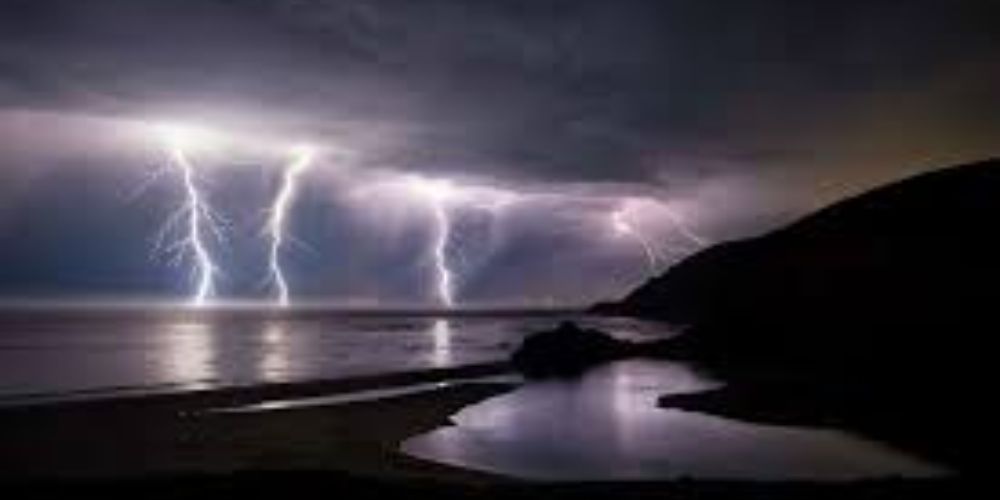
The marine prediction warns of gale-force winds as the inclement weather approaches.
“Hazardous conditions will exist over the outer waters through Friday due to strong northerly breezes and rough seas that are developing today,” according to the weather service forecast discussion.
The unpredictable weather also increases the likelihood of dry lightning, which can cause wildfires. According to Gass, current forecasts indicate that the majority of the harmful lightning will occur over the ocean.


Leave a Reply