
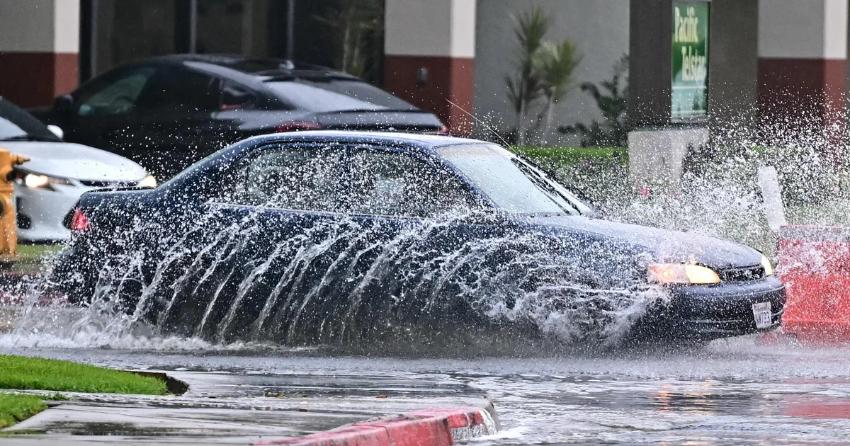
Southern California is preparing for a powerful cold rainstorm expected to bring heavy rainfall, flooding, and possible debris flows beginning Thursday night, according to the National Weather Service (NWS).
The system — an atmospheric river moving south from the Gulf of Alaska — is forecast to be the coldest storm to hit the region since early 2025, bringing widespread precipitation through Saturday, with lingering showers possible into Sunday.
Weather Alerts and Warnings
The CBS Los Angeles weather team has issued a Next Weather Alert from 4 p.m. Thursday through Saturday, urging residents to prepare for dangerous travel conditions, flooded roadways, and potential debris flows, especially near burn scar areas.
The NWS warns of:
-
Thunderstorms possible Friday (10–20% chance across all counties)
-
Rainfall totals: 1–2 inches in metro Los Angeles and Ventura Counties, 2–4 inches in mountain and foothill regions
-
Rain rates up to 0.75 inches per hour in localized areas
“If these precipitation rates persist, flood watches may be issued, particularly for vulnerable zones,” the NWS said.
Evacuation and Safety Measures
Evacuation warnings are in place for the Eaton, Palisades, Hurst, Kenneth, and Sunset fire zones. Residents are urged to monitor emergency alerts and avoid traveling in high-risk areas during periods of heavy rainfall.
Road Closures
Caltrans announced that State Route 27 (Topanga Canyon Boulevard) will be closed from Pacific Coast Highway to Grand View Drive beginning 10 p.m. Thursday due to safety concerns.
Authorities are reminding residents to avoid flooded roads, secure outdoor belongings, and check for updates from local emergency management and weather services throughout the weekend.


Leave a Reply