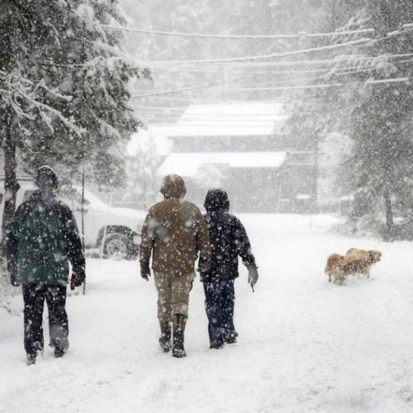
Minnesota’s warm early November weather is set to end as a big blast of Arctic air arrives between November 9 and 15. The state could receive its first considerable snowfall of the season, particularly in northern counties, as chilly northwest winds provide lake-effect and system snow through mid-month.
According to the NOAA Climate Prediction Center, most of Minnesota will have below-average temperatures and above-average precipitation over the coming week. The heaviest cold front will arrive early next week, with highs failing to reach the 30s and lows dropping into the teens north of Brainerd and Bemidji. Wind chills might drop to the single digits at times.
According to the National Weather Service offices in Duluth and the Twin Cities, two storm systems could deliver light snow to central and southern Minnesota, with greater accumulations expected near the North Shore and Iron Range. Strong northwest winds from Lake Superior may potentially cause localized blizzard-like conditions in open areas, notably along U.S. Highway 53 and Interstate 35.
Residents across the state are being asked to take winter preparations right away, including as checking furnaces, insulating pipes, and keeping emergency kits in their vehicles. Early-season snow and ice may cause dangerous morning commutes and traffic delays, particularly on rural roads and bridges.
Forecasters warn that the mid-November cold outbreak could signal the start of a long-lasting early winter pattern. As Thanksgiving approaches, Minnesotans should expect more regular snowfall and a protracted stretch of subfreezing conditions until late autumn.






Leave a Reply