A stretch of cold, unsettled weather is developing across Maryland and northern Virginia today as an offshore cold front pulls colder air into the region, according to the National Weather Service in Baltimore/Washington. Afternoon temperatures are predicted to stay significantly below normal, reaching just the upper 20s to mid-30s in most regions, with the mountains remaining in the low to mid-20s.
Snow Returns to Advisory Zones West of the Metro
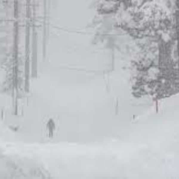
A Winter Weather Advisory remains in effect along the I-64 corridor and into the Potomac Highlands, with forecasts predicting persistent bands of snow throughout the afternoon. The National Weather Service predicts totals of 1 to 3 inches, with localized amounts near 4 inches at higher elevations.
As temperatures remain below freezing, the impact on travel may become more obvious in these advisory zones. Elevated terrain is predicted to get the most persistent snowfall, resulting in treacherous and snow-covered roads.
Eastern Areas See Lighter Snow but Continued Cold
Farther east, snow coverage and intensity decrease, but forecasts say light flakes or intermittent bursts may still reach areas of the Shenandoah Valley. Even in places without snow accumulation, temperatures will struggle to recover during the day.
Both the Baltimore and Washington metro corridors are predicted to remain largely dry. However, daytime highs will be in the 30s, maintaining the region’s cold pattern. Roads west of these metropolitan areas may have residual slick places where snow continues throughout the afternoon.
What the Weather Service Is Saying
Meteorologists believe the most major consequences will occur west of the I-95 corridor.
“Bands of snow will continue through much of the day in advisory zones, especially over higher terrain,” the National Weather Service stated in its morning update.
The agency warns vehicles going along I-64, into the Potomac Highlands, or through any mountain passes to leave additional time and be aware of sudden changes in road conditions.
Evening Outlook: Snow Fades but Cold Intensifies
Snowfall is predicted to subside by late afternoon or early evening as the weather system moves further offshore. Once the precipitation stops, cooler overnight temperatures will set in across the Mid-Atlantic. Many places could see temperatures in the 20s, with teens possibly in the mountains.
The cooler air mass will set the setting for another brisk start tomorrow, and experts predict more disturbances may affect regional weather later this week.
Staying Safe During Early-Season Winter Weather
Even modest snowfalls can quickly create dangers, particularly on untreated or elevated roads. Commuters must keep in mind:
- Reduced visibility under snow bands
- A higher likelihood of icy patches on bridges and overpasses
- Longer stopping distances on untreated surfaces
- The importance of checking updated forecasts before traveling
Awareness is especially important in mountain regions, where snowfall lasts longer due to elevation and lower temperatures.



Leave a Reply