
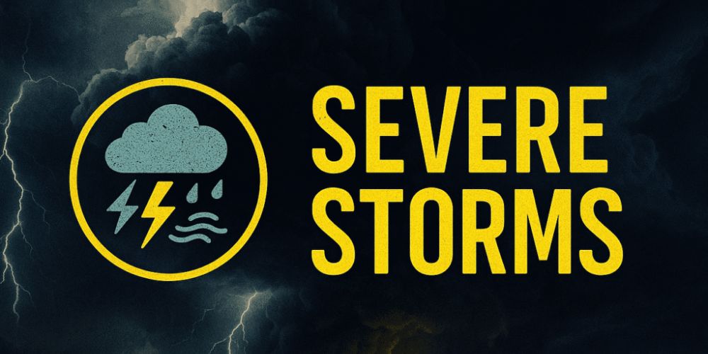
Thunderstorms with severe wind gusts, isolated tornadoes, and localized flooding are expected to rumble through Southeast Texas from Saturday afternoon until early Sunday morning as a powerful cold front moves through the region.
According to the National Weather Service in Houston-Galveston, there is still a slight danger of severe weather and significant rainfall. Thunderstorms are likely to form late Saturday and increase overnight, posing risks such as large hail, wind gusts above 50 mph, and short tornadoes. Rainfall totals of 1 to 2 inches are expected, with isolated patches of 2 to 3 inches, raising fears about flash flooding in low-lying areas.
Houston, Galveston, College Station, and Livingston are among the cities under risk, with Interstate 45 and US-59 likely experiencing water pooling and hazardous traffic conditions from late Saturday into Sunday morning. Isolated waterspouts may also form near the Gulf Coast, while high seas and marine winds may impede coastal activity.
Residents are advised to follow updates and limit nonessential travel during the storms’ peak. Power outages and small water damage are still probable, particularly in flood-prone neighborhoods.
The National Weather Service may issue further alerts as conditions change over the weekend.


Leave a Reply