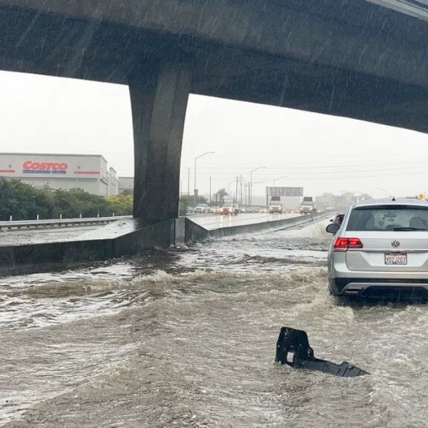
Heavy rains drenched sections of the Mid-Atlantic on Monday, with some New Jersey municipalities receiving up to 4 inches, prompting concerns about treacherous commutes and soggy roadways until midweek.
According to the National Weather Service Middle Atlantic River Forecast Center, scattered showers will persist for the next three days, keeping streams and rivers somewhat elevated, but no catastrophic flooding is forecast. So far, the largest rainfall totals have been recorded in southern New Jersey and southeastern Pennsylvania.
Downpours slowed traffic in Philadelphia and Camden on Monday morning, while Trenton experienced ponding and drainage concerns. Baltimore and Washington, D.C., are forecast to receive additional light rain through Wednesday, with accumulations of less than half an inch.
We advise drivers to be cautious on slick roads during peak travel periods, particularly along I-95 and adjacent metropolitan corridors. As another round of scattered showers develops Tuesday afternoon, emergency managers urge emptying storm drains and adding additional time to commutes.
Scattered rain is forecast to continue across the region until Thursday morning, with the next update likely to follow if rainfall totals increase.







Leave a Reply