Los Angeles, California — A wetter-than-average weather pattern is expected across much of the West Coast from Jan. 7 through Jan. 11, according to the latest outlook from NOAA’s Climate Prediction Center.
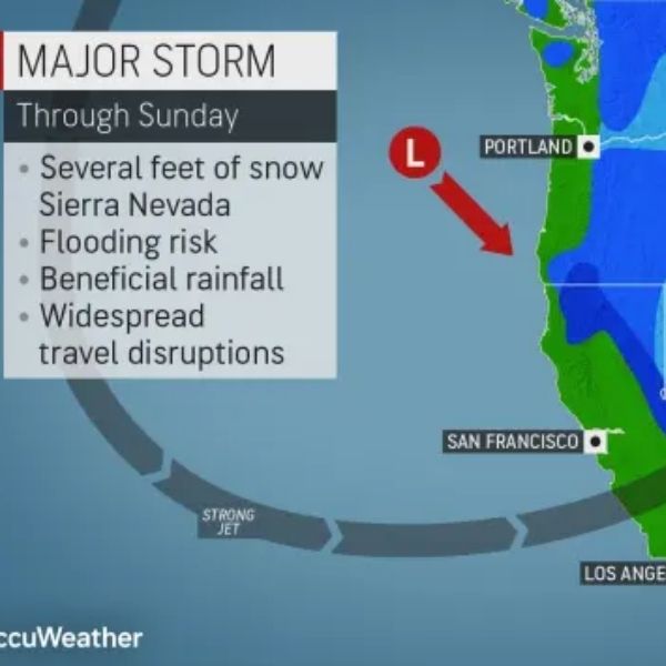
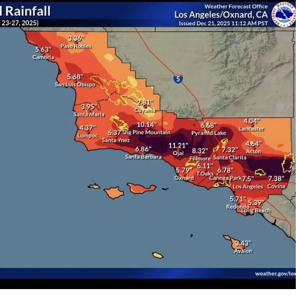
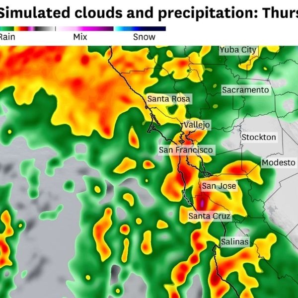
The 6–10 day precipitation outlook indicates above-normal rainfall from Washington and Oregon south into much of California. This points to an active Pacific storm track, with several systems likely to move ashore during this time frame.
The 6–10 day temperature outlook favors near- to slightly above-normal temperatures across coastal regions and many inland valleys. While brief cool-downs may follow individual storms, extended cold conditions are not expected at this range.
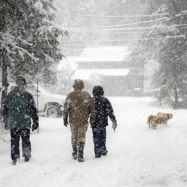
In California, the pattern supports repeated chances for rain, particularly along the coast and in valley areas. In the Pacific Northwest, forecasters anticipate periods of rain at lower elevations and mountain snow in the Cascades, with snow levels varying based on storm strength and timing.
The Climate Prediction Center emphasized that these outlooks reflect regional trends rather than exact storm timing or intensity. Individual systems could still bring heavier rain, gusty winds, or localized travel disruptions.
For commuters, ports, and freight traffic along major routes such as Interstate 5, U.S. 101, and coastal highways, the pattern may lead to wet roads, reduced visibility, and occasional delays, especially during heavier rainfall.
Residents across the West Coast are encouraged to follow updated forecasts from the National Weather Service as the Jan. 7–11 period approaches and forecast confidence continues to improve.






Leave a Reply