Pedestrians use umbrellas and rain jackets to shield themselves from rain in San Francisco as a storm moves through the Bay Area on Nov. 5. After nearly four weeks without rain, precipitation is set to return to the region this week. The wet pattern arrives in stages, with the Bay Area expected to see its most significant rainfall from the final system, while cool temperatures persist.
After a long dry stretch, Californians are finally seeing rain reappear in the forecast. This week’s pattern unfolds in several waves, with varying impacts across the state. Here’s how each storm is expected to play out.
Here’s how the week shapes up, storm by storm.
Storm 1: Rain for the North Coast only
The first system moves in Monday evening, but its effects will stay confined to California’s far North Coast, including Humboldt and Del Norte counties. This brings welcome moisture to Eureka, which has recorded just 0.11 inches of rain so far in December, nearly 3.5 inches below normal.
A cold front linked to a distant low-pressure system near British Columbia will deliver periods of light to moderate rain from Monday afternoon through Tuesday morning in areas such as Eureka, Crescent City, and the Siskiyou Mountains.
Monday’s system is the weakest of the week and will only produce meaningful precipitation along the northern California coast. Elsewhere, the storm will lose strength early Tuesday morning due to the lack of support from a closer low-pressure system. As a result, measurable rain will not reach the Bay Area, and most locations south of Mendocino County will remain dry.
Storm 2: Just enough to break the dry streak
The second opportunity for rain follows quickly, with precipitation redeveloping along the North Coast by Tuesday afternoon and evening. This cold front will be stronger and better connected to Pacific moisture, allowing it to push farther south along the coast and deliver a more noticeable rainfall event.
Light rain is expected to reach Mendocino County, the northern Sacramento Valley, and the Sierra foothills late Tuesday, most likely after sunset, and continue overnight. After midnight Wednesday, light to moderate rain should arrive in the North Bay, especially along the Highway 101 corridor.
Light showers will then spread into San Francisco, Oakland, and the Peninsula during the predawn hours Wednesday, creating a slightly wet early morning commute.
Despite covering a broader area, Wednesday’s storm will weaken as it moves south through California, keeping rainfall totals modest. By the time rain ends Wednesday morning, up to 0.25 inches could fall in parts of the North Bay along Highway 101, while most areas south of the Golden Gate will likely receive no more than a tenth of an inch. That amount is enough to officially end the dry streak, but it will have little overall impact.
Neither of the first two storms will significantly benefit the snow-starved Sierra Nevada. Snow levels will stay high near 8,000 feet, meaning most ski resorts will see rain rather than snow, with only the highest elevations picking up light snowfall.
Storm 3: The one worth watching
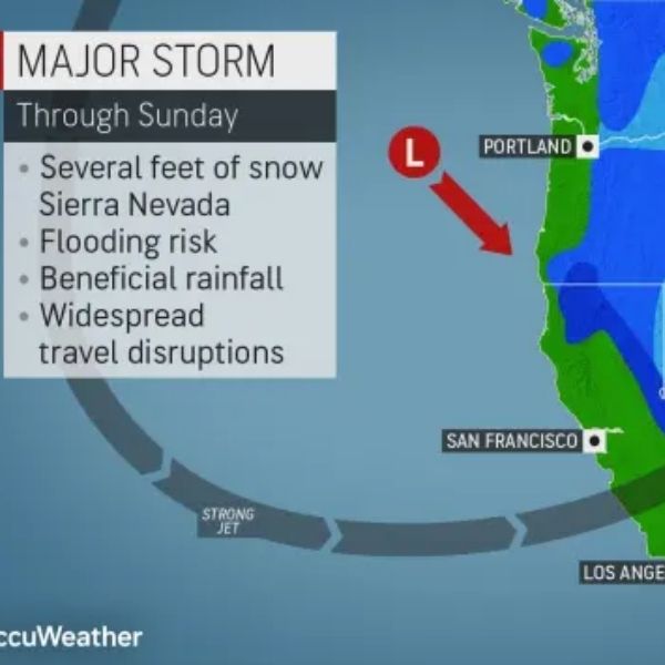
The third system, expected late Friday into early Saturday, brings the best chance for meaningful rain in the Bay Area and improved snowfall prospects for the Sierra.
By the end of the week, the jet stream is forecast to strengthen and align more directly from west to east across the Pacific. This setup helps cold fronts hold together as they enter California. The jet is also expected to tap into subtropical moisture, while a surface low-pressure system develops off the Northern California coast, supporting more substantial precipitation as the storm moves inland and south.
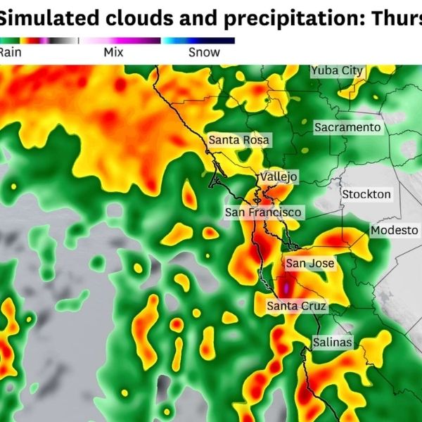
Rain should reach the North Coast late Thursday night and spread into the North Bay by Friday morning. Steadier rainfall is expected in San Francisco, the East Bay, and the South Bay by Friday afternoon and evening.
Exact totals remain uncertain, and timing may still shift, but this system has the highest precipitation potential of the week. North Bay valleys could see between a half-inch and 1.5 inches of rain, with around a half-inch possible in San Francisco and Oakland, and lighter amounts farther south.
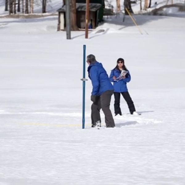
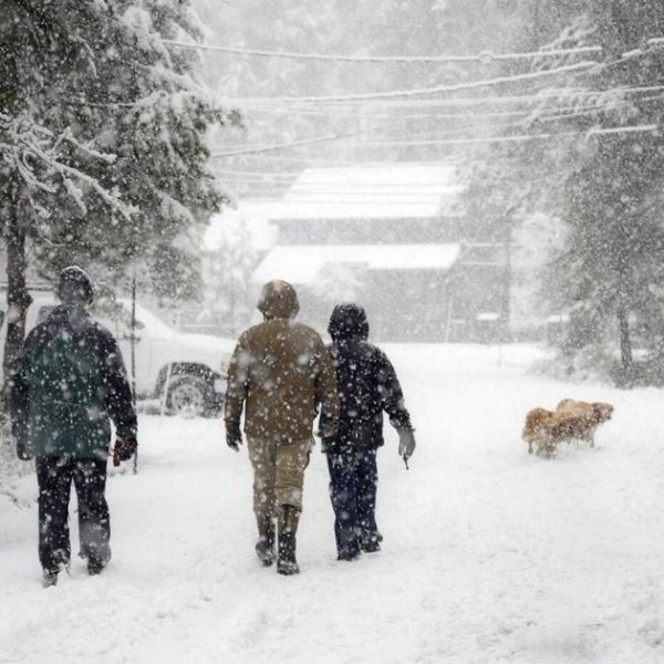
This storm also offers the best snow potential the Sierra has seen in weeks. Snow levels are expected to drop to around 6,000 feet by Friday night. Although the system will move through quickly, lower elevations could see a few inches of snow by Saturday, providing a much-needed boost for ski resorts.
Once the storm exits early Saturday, dry conditions should return quickly.
Each system helps set the stage for additional rain and snow chances across California beyond next weekend. An active pattern appears likely to continue into Christmas week, though current signals favor progressive storms with moderate rainfall rather than prolonged or extreme events.
Monday Bay Area breakdown:
San Francisco:
Monday begins with mostly cloudy skies. Low clouds should break by late morning or early afternoon, leaving some high-altitude clouds and partial sunshine. Afternoon highs will reach the low to mid-50s, slightly warmer than Sunday. Low clouds and fog return overnight, with lows in the upper 40s to low 50s.
North Bay:
Skies will remain mostly cloudy, especially along the coast. Some afternoon breaks of sunshine are possible along Highway 101, but temperatures will stay cool. Highs range from the upper 40s in Vallejo and Vacaville to the mid-50s in Novato and Santa Rosa. Clouds and fog return overnight, with lows in the upper 40s to low 50s.
East Bay:
Morning clouds will give way to partial sunshine in the afternoon, particularly from Richmond to Fremont, where highs reach the upper 50s to around 60 degrees. The Tri-Valley and Livermore Valley will clear later, with highs in the mid-50s. Walnut Creek and Concord will stay mostly overcast, with highs in the upper 40s. Clouds return overnight, with lows in the upper 40s to low 50s.
Peninsula:
Low clouds and fog will cover the Highway 101 corridor in the morning. Skies will gradually brighten but remain partly cloudy throughout the day. Highs will stay consistent in the upper 50s from South San Francisco to Redwood City. Clouds return overnight, with mild lows near 50 degrees.
South Bay:
Low clouds will linger through much of the morning, followed by partly sunny skies in the afternoon. Highs will range from the upper 50s to low 60s. Low clouds return overnight, with mild conditions and lows around 50 degrees.
This article has been carefully fact-checked by our editorial team to ensure accuracy and eliminate any misleading information. We are committed to maintaining the highest standards of integrity in our content.






Leave a Reply