
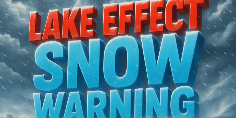
A significant lake-effect snow event is affecting northern Ohio and northwest Pennsylvania today, with the National Weather Service issuing Lake Effect Snow Warnings for various counties. Heavy precipitation, whiteout conditions, and dangerous Thanksgiving travel are likely until Friday night.
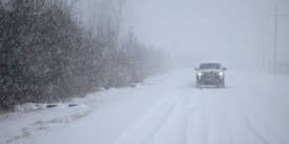
According to the National Weather Service in Cleveland, the heaviest snow bands are producing 1 to 2 inches per hour, with gusts reaching 40 mph and limiting visibility to near nil at times. The warning is in force until 7 p.m. Friday in Cuyahoga, Lake, Geauga, and inland Ashtabula counties, where 3 to 12 more inches of snow are expected. The largest totals are forecast throughout the hilly terrain east of Cleveland and south of Lake Erie.
A separate Lake Force Snow Warning is in force until 1 a.m. Saturday in Southern Erie and Crawford Counties, Pennsylvania, with an additional 6 to 15 inches likely. According to NWS forecasters, the most persistent and strong band formed south of I-90 Thursday afternoon and will continue to push into Crawford County overnight. The band’s core is expected to include rapid visibility decreases, slick roadways, and life-threatening whiteout bursts.
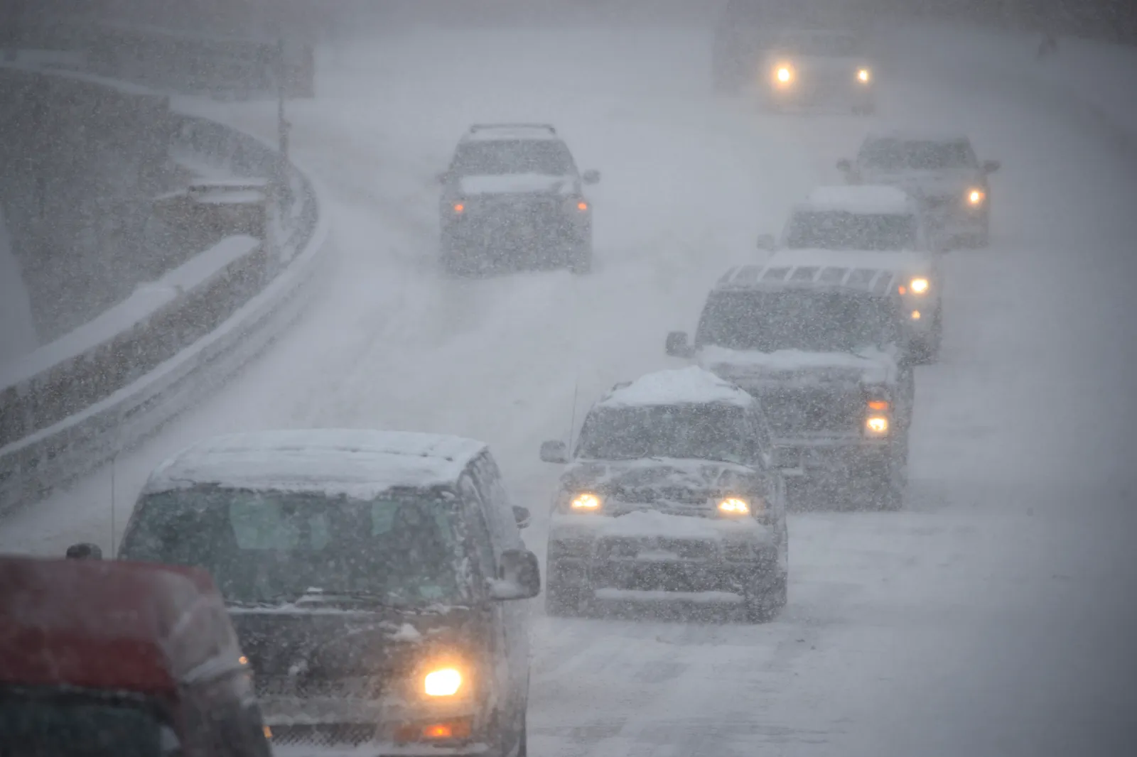
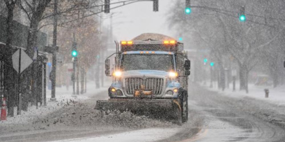
The dangerous conditions are likely to significantly disrupt Thanksgiving holiday travel, particularly along I-90, I-79, Route 322, Route 6, and other rural areas. Drivers in both states are advised to postpone travel if possible. Ohio and Pennsylvania transportation officials highly advise motorists to check OHGO and 511PA for up-to-date road conditions.
Forecasters note that lake-effect snow can vary considerably over short distances, with heavy snow in one location and dry roads just a few miles away. Conditions will progressively improve late Friday night and early Saturday.


Leave a Reply