

Washington will experience a dramatic decrease in temperatures beginning Saturday, November 30, as Arctic air moves into the Pacific Northwest, bringing snow, freezing rain, and slippery travel through the first week of December.
According to the National Weather Service, an Arctic front descending from British Columbia will push into Washington this weekend, causing temperatures to drop 15–25 degrees below normal. The Climate Prediction Center predicts 70-80% below-average temperatures across the region, with snow expected in the Cascades and subfreezing mornings in western valleys.
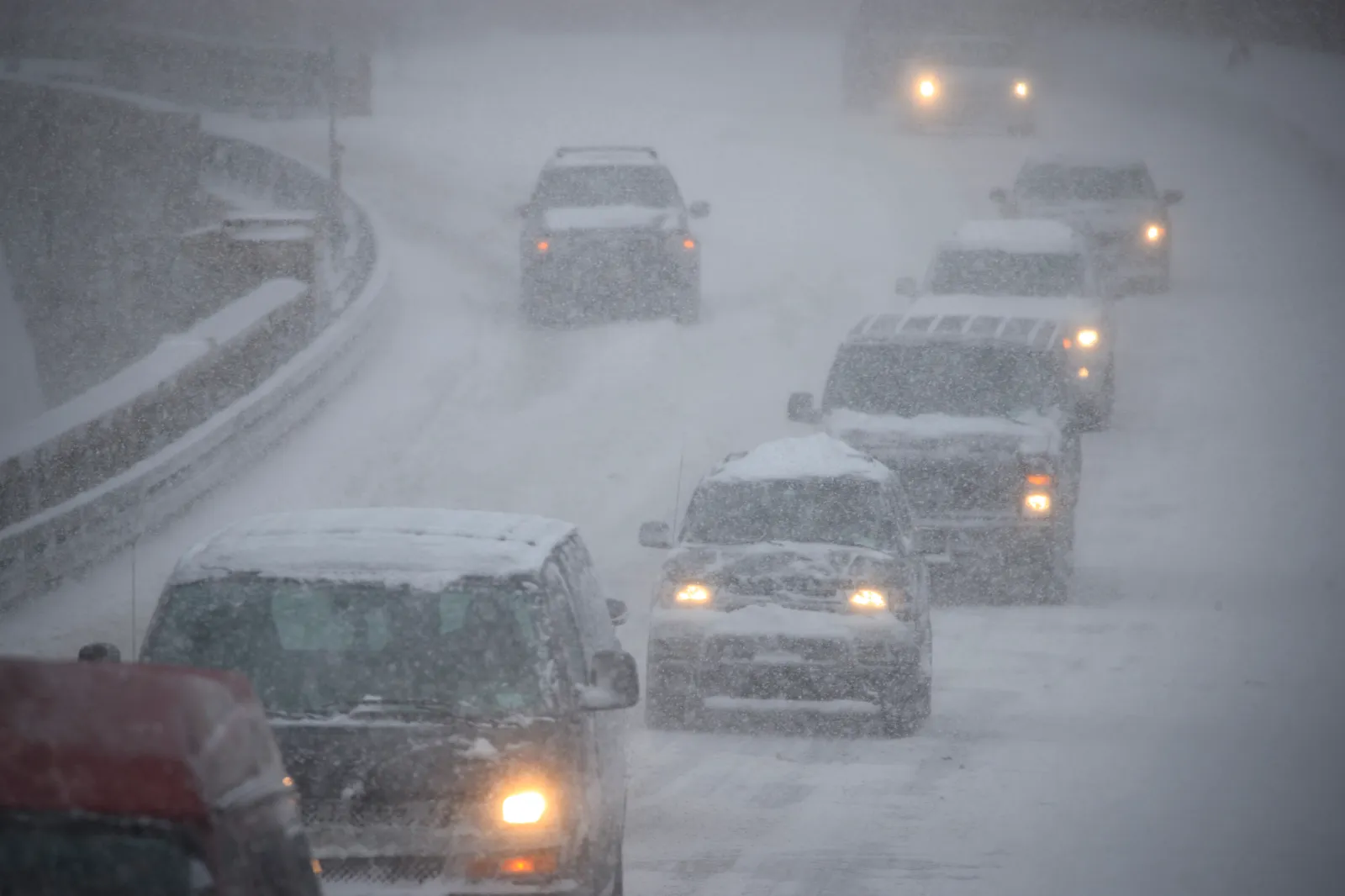
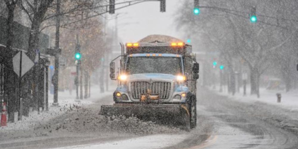
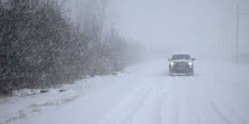
Drivers on I-5 and I-90 may expect slick conditions, low visibility, and strong gusts that may result in drifting snow in open places. The Washington State Department of Transportation advises that freezing rain might affect the Puget Sound region, while mountain passes may receive heavy snowfall and require chains.
This Arctic blast will provide the coldest start to December in several years, with low temperatures anticipated to remain until at least midweek. The system will also contribute to widespread cold throughout most of the northern United States, signaling the beginning of a protracted winter pattern.
Residents are encouraged to cover exposed pipes, check heating systems, and bring pets indoors as temperatures drop. Power disruptions are anticipated in places with freezing rain and high winds.


Leave a Reply